Historic Description
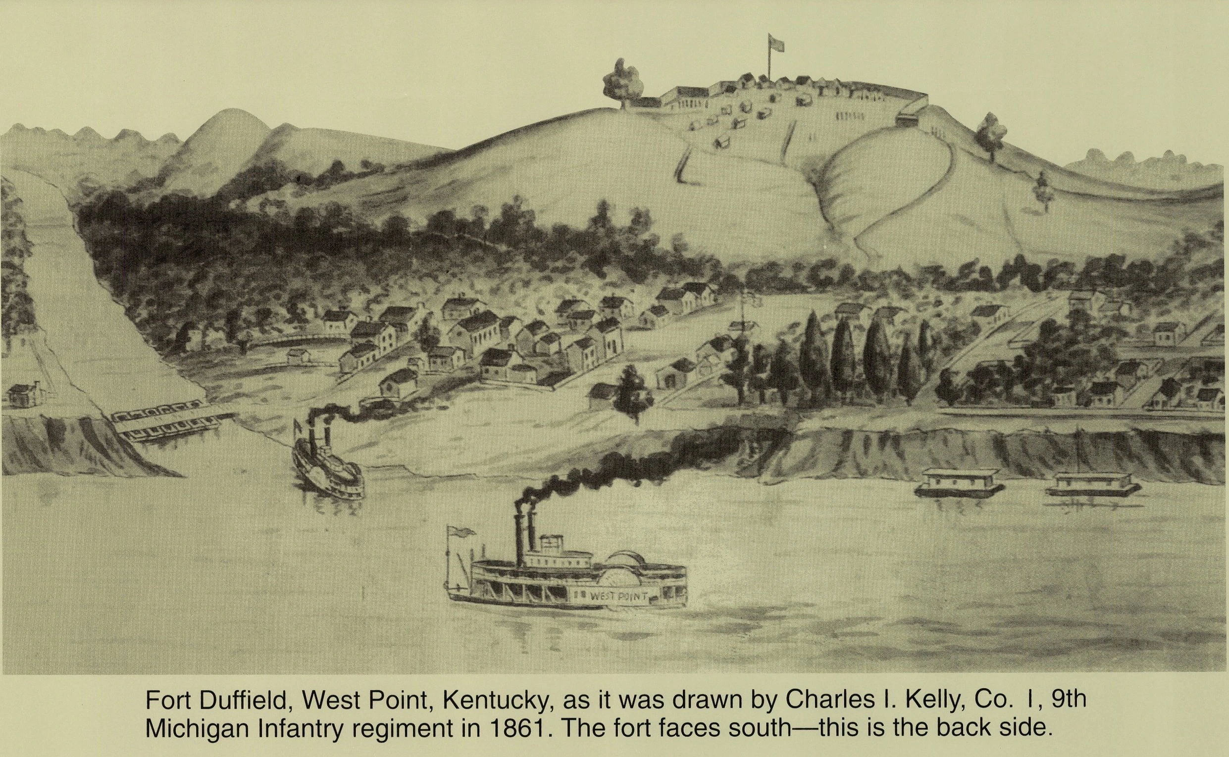
“You are looking into the rear of the fort which faces from you to the south, and commanded the great Louisville and Nashville Pike, which passes around the hill to the right and rear.”
The Fort had many names: Pearmin Hill, Fort Hill, Mistletoe Hill, Fort Duffield, Camp Blair, and Muldraugh Hill. Mostly built by the 9th Michigan Infantry in Nov. and Dec. 1861 from a sketch by Charles A. Kelley, Co. I.
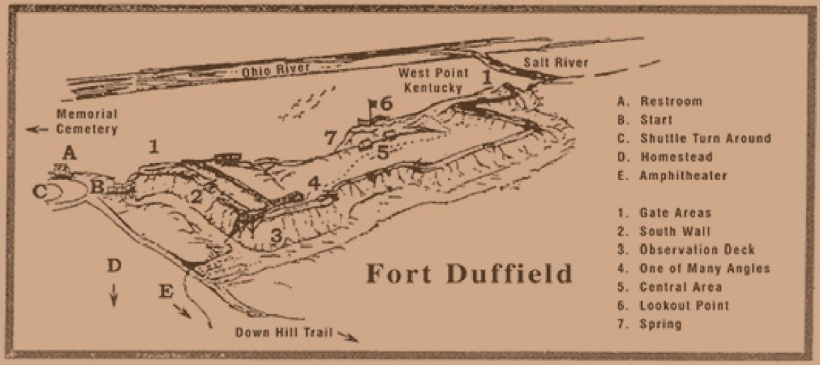
The Ninth first camped to the left of figure 1 and laid a bridge on scows there to cross Salt River. Fig. 2 is the upper half of the winding path, which ran further to the left behind the trees to the bottom of the hill. Fig. 3 marks steps to a spring, and Fig. 4 is a short route to town.
Teams got onto the hill by a long, winding road on the south side. Sixty-one men of the Ninth were buried on the point of the hill just to the right of the picture. This view was taken from the hills across the river in Indiana a mile to the north, showing only the top of Muldraugh’s Hill.
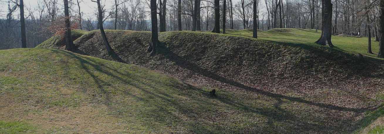
There were several large fields in which regiments used to drill between the village and the hill. The fort was fifteen rods deep, forty rods wide, and eighty rods around all angles, with a wide, deep ditch and capacity for ten cannons and 1,000 men.
Camps Near West Point
Camp Holman – Mouth of Salt River, near Kulmer Beach (Nov 6, 1861, 9th MI arrived)
Camp Duffield / Fort Blaire – Old Courthouse Rd (now 6th St), later renamed Fort Duffield
Camp Buell – 1st Wisconsin near Bee Branch
Camp Armstrong – Adjacent to Camp Buell
Camp Hazard – West of West Point along the Ohio
Camp Haycraft – Elizabethtown, 1863–65
Camp Nevin – Near Nolin Station, 1861–62
Camp Washington – Elizabethtown, 1861
Camp Gilbert – Louisville, 1862
Camp Irvine – Temporary encampment, location unclear
Camp Sigel – Near Shepherdsville, 1861